Fokker F27-400 Fields Survey Flight
Production Time 9 to 10 weeks
Shipment is by FedEx, UPS or DHL International Express Courier with a normal door-to-door delivery time worldwide of within 2-3 business days after dispatch. Due to the current volatility of world fuel prices, the amount mentioned here is our best estimate for DHL and UPS and may be subject to change at the time of shipping.

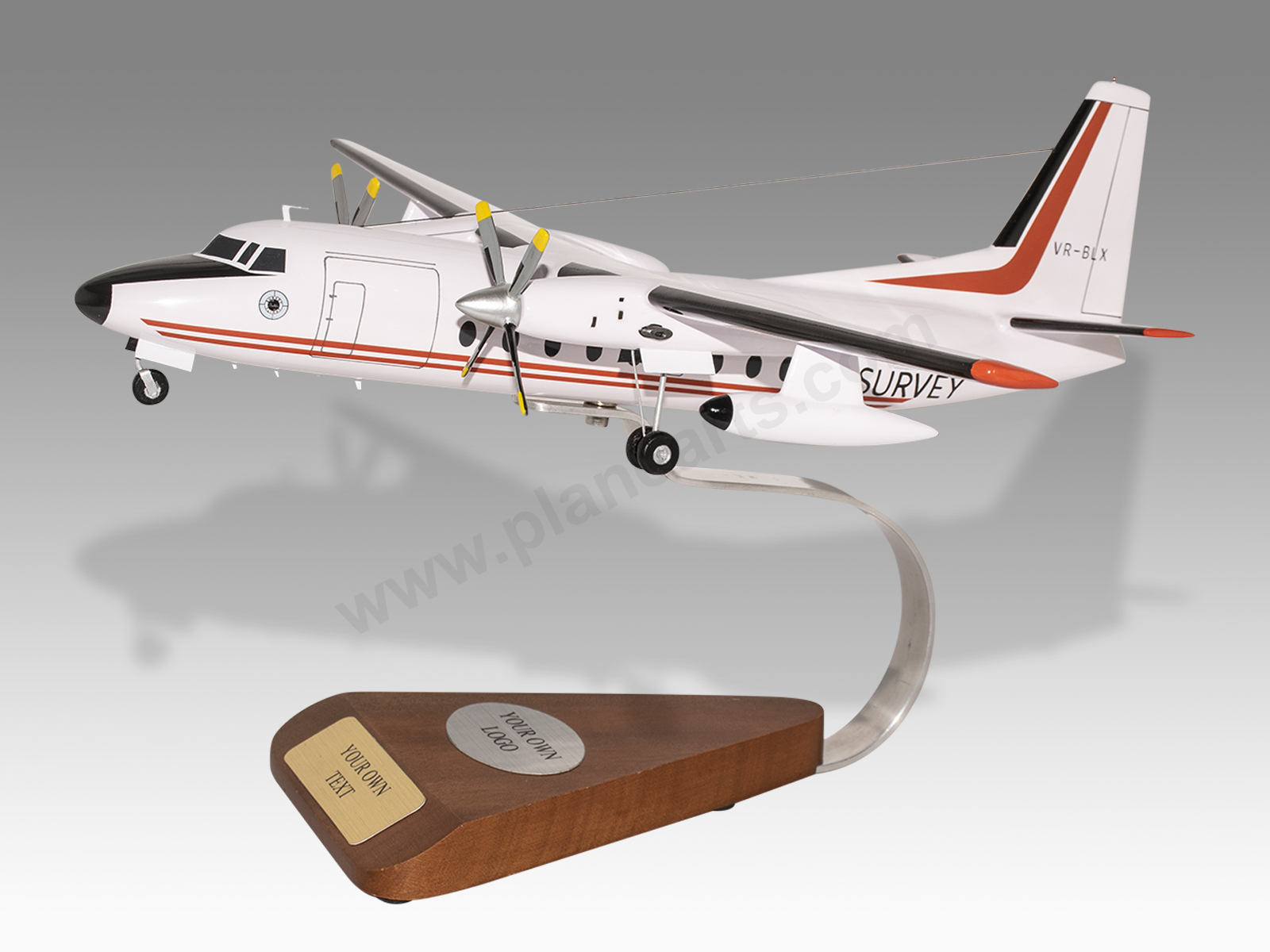
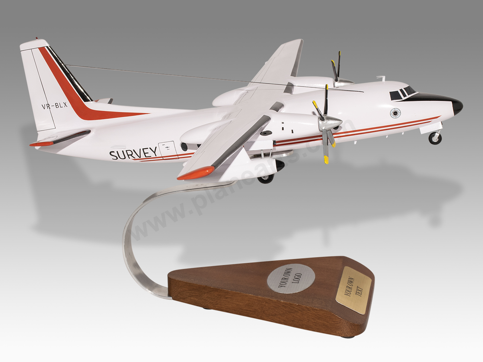
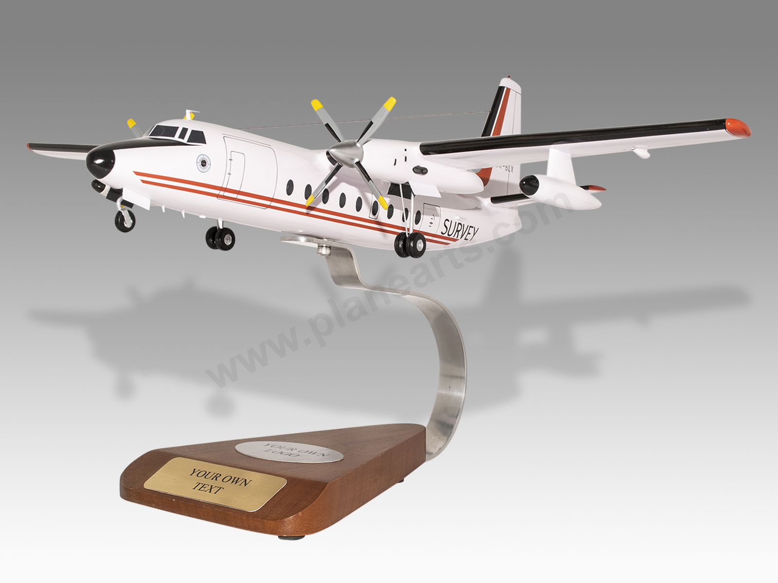
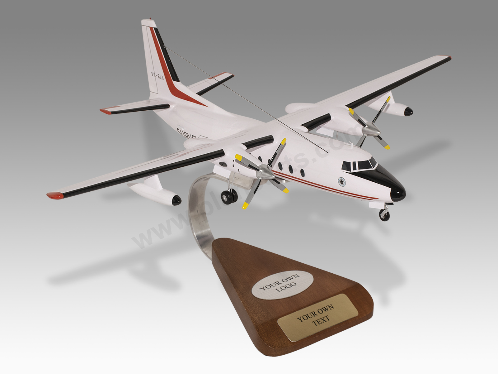
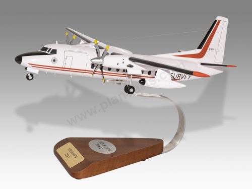
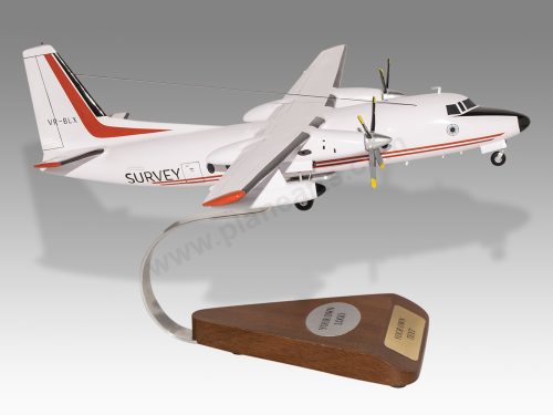
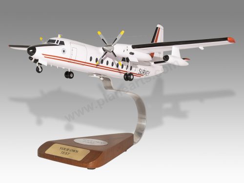
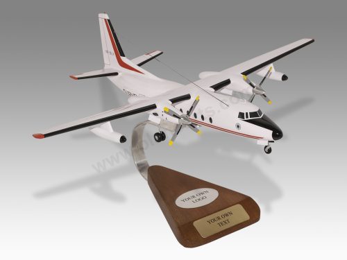
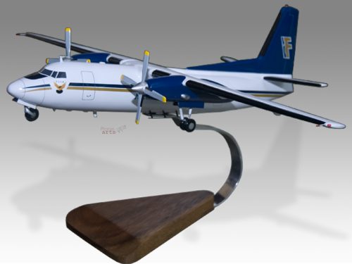
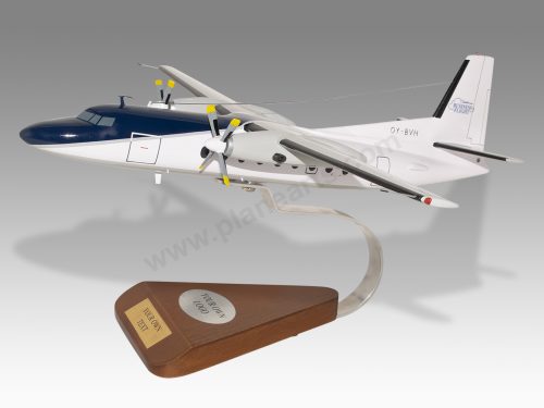
Model Description: Fokker F27-400 Fields Survey Flight Wood Replica Scale Custom Model Aircraft
Manufacturer: Fokker
Wingspan: 17 Inches (43.2 Centimeters)
Height: 4.9 Inches (12.5 Centimeters)
Scale: 1:67
Registration: VR-BLX
$259.50
Production Time 9 to 10 weeks
-
United States dollar ($)
-
Pound sterling (£)
-
Euro (€)
-
Australian dollar ($)
-
Canadian dollar ($)
-
Singapore dollar ($)
-
Swiss franc (CHF)
-
Japanese yen (¥)
-
Danish krone (kr.)
-
Hong Kong dollar ($)
-
Norwegian krone (kr)
-
Swedish krona (kr)
-
United Arab Emirates dirham (د.إ)
General Product Description
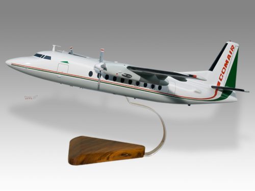
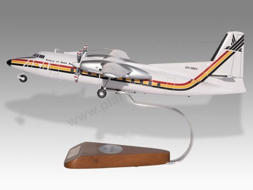
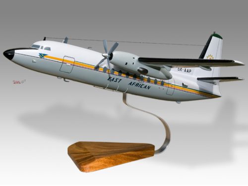
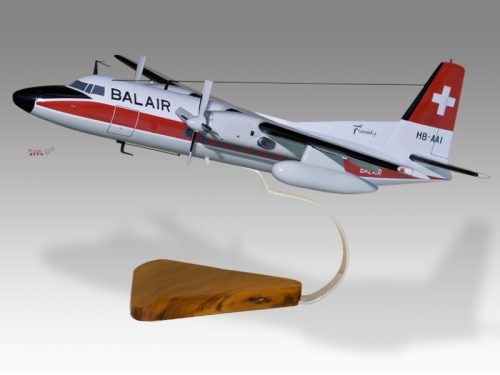
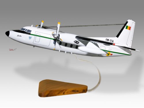
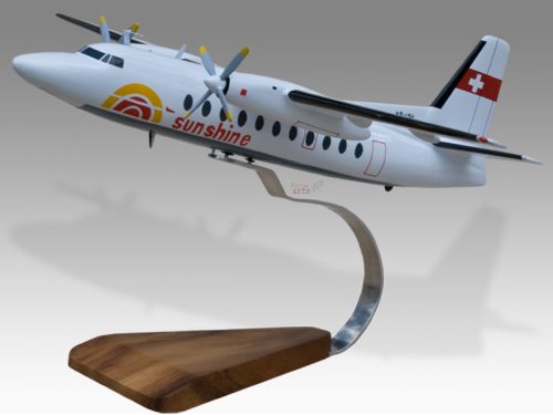
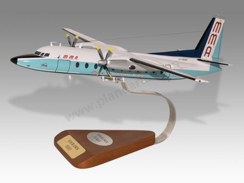
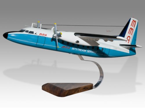
Our PlaneArts Fokker F27-400 Fields Survey Flight model exhibits unique, unrivaled quality and detailed design to come as close as possible to the accuracy of the actual plane. It comes as standard with a robust, durable base or stand which is available in a variety of different finishes designed to match your own personal requirements including solid wood, wood with polished metal supports or adjustable wood wall mount and will be ready within about 9-10 weeks from placement of order.
The Fokker F27-400 Fields Survey Flight model is made of the finest kiln dried renewable mahogany wood (commonly known as Lauan or Meranti) which has undergone many stages of carving and meticulous and careful sanding giving the beautiful finished museum quality masterpiece. Many collectors and model connoisseurs demonstrate their preference for genuine handmade and hand painted mahogany wood models rather than plastic or die cast (diecast) alternatives due to the overall look and totally different feel of the item - we trust you will find the same. We can, however, if required produce the same model in Solid Cast Resin so just click and contact us us for further information. Our craftsmen and gifted artisans ensure that our finely handcrafted model airplanes match the precise blueprint details of the original aircraft. The paint scheme, markings and parts are closely matched, reflecting the original aircraft. This stylish top-quality desktop replica model will surely enthrall anyone who receives this as a gift and for sure one of the most appropriate and desirably collectable gifts for any aviation enthusiast and avid aircraft collector whilst also displaying a perfect resemblance to the actual aircraft.
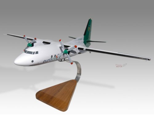
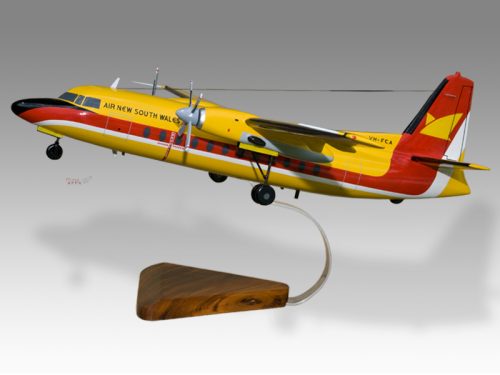
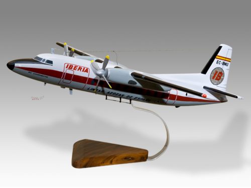
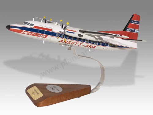
If you require we can also make the Fokker F27-400 Fields Survey Flight model in any other airline, private livery or colour scheme you require and if necessary in a different size or scale. Just click here to contact us with a description or photographs of what you require, and we will let you have a quotation for the necessary customization by return email. We can also make bespoke scale replicas of any other private / civil commercial airliner or airliners, helicopter, glider, gliders with engines, military jet, warplane jets, propeller warplanes, biplane, triplane, tail fin, spacecraft, rocket or NASA model you require in any airline, military or civilian livery or colors. We also produce model airships, blimp, dirigible, blimps, boat and ship collectibles. Wall plaque or seal for military, government or private customers. Again, by clicking here to contact us just let us know exactly what you need.
The Fokker F27-400 Fields Survey Flight: A Landmark in Aerial Surveying
The Fokker F27-400, a versatile turboprop aircraft, has earned its place in aviation history for its contributions to both commercial and specialized operations. One of the aircraft’s notable applications has been in the field of aerial surveying. Specifically, the Fokker F27-400’s role in fields survey flights has revolutionized how topographic, geological, and environmental data is gathered from the sky. In this article, we explore the Fokker F27-400’s involvement in fields survey flights, highlighting its capabilities and its impact on the surveying industry.
Introduction to the Fokker F27-400:
The Fokker F27-400 is a part of the Fokker F27 family, a series of twin-engine turboprop aircraft originally developed in the 1950s. The F27-400 variant, introduced later, brought enhanced performance, greater fuel efficiency, and improved passenger comfort compared to its predecessors. It became particularly popular with regional airlines and other sectors that needed a reliable and cost-effective aircraft for short to medium-range flights.
What sets the F27-400 apart in the context of aerial surveying is its ability to fly at lower altitudes and slower speeds compared to jet aircraft. This makes it ideal for detailed surveying and mapping of terrain, as well as capturing high-resolution data over extended periods of time.
Fields Survey Flight Capabilities:
A fields survey flight refers to the use of an aircraft equipped with advanced surveying instruments to gather geographical, environmental, and geological data from the air. The Fokker F27-400, when equipped with the proper surveying technology, offers several advantages for these kinds of missions:
- Stable Platform for Instruments: The F27-400’s design includes a relatively low cruising speed and stable flight characteristics, which provide a steady platform for the deployment of surveying equipment like LiDAR (Light Detection and Ranging), photogrammetry cameras, and multispectral sensors. This stability is crucial for producing accurate and high-quality survey data.
- Extended Range and Endurance: The aircraft’s fuel efficiency and range allow it to cover large areas of land without the need for frequent refueling. This is especially important when surveying remote or expansive regions, such as forests, mountains, and fields, where access by land is difficult.
- Versatility in Terrain Coverage: The F27-400 can operate effectively in a variety of terrains and conditions, making it adaptable for different types of surveying work. Whether it’s mapping agricultural fields, analyzing natural resources, or inspecting infrastructure, the aircraft can tailor its flight paths to meet specific survey needs.
- Advanced Surveying Equipment Integration: Modern F27-400 aircraft involved in surveying missions are often equipped with state-of-the-art technology to collect and process aerial data. These include high-resolution cameras, multi-spectral imaging systems, and radar systems that can penetrate dense vegetation or soil to capture underlying features.
Key Applications of the Fokker F27-400 in Surveying:
The Fokker F27-400 has been used extensively in various fields of survey work. Some of the most prominent applications include:
- Agricultural Surveys: In agriculture, aerial surveys provide critical data on crop health, soil conditions, and land use. The F27-400 can capture images and measurements that allow farmers to monitor large-scale agricultural areas, detect crop diseases, and optimize irrigation systems.
- Topographic Mapping: Surveying topography, including the mapping of elevation changes and natural features like rivers, hills, and valleys, is another common application. The F27-400’s ability to fly at low altitudes with precision makes it an ideal choice for capturing detailed maps that can be used for planning, construction, or environmental studies.
- Environmental Monitoring: Environmentalists use aerial surveys to monitor ecosystems, forests, wetlands, and other critical habitats. By flying at consistent altitudes, the F27-400 allows for consistent monitoring of large areas, tracking environmental changes over time.
- Infrastructure Inspection: The aircraft is also used to inspect infrastructure, including roads, bridges, and power lines. The ability to fly slowly and steadily enables the F27-400 to capture high-resolution imagery, making it easier to identify structural damage, wear, and potential issues requiring attention.
Legacy and Future of Aerial Surveying with the Fokker F27-400:
While the Fokker F27-400 is no longer in widespread use in commercial aviation, its legacy in the aerial surveying field is undeniable. Many of the advancements in surveying technology were made possible by aircraft like the F27-400, which allowed for cost-effective, efficient, and precise data collection from the air.
As newer aircraft and drones have entered the surveying industry, the Fokker F27-400 still holds a place in specialized missions due to its proven track record and adaptability. The continued evolution of surveying equipment, including more powerful sensors and improved data processing tools, will likely ensure that the F27-400 remains a valuable asset in aerial surveying for years to come.
Conclusion:
The Fokker F27-400 has proven to be an indispensable tool for the field of aerial surveying. Its combination of stable flight, long endurance, and compatibility with advanced surveying technology makes it a preferred choice for large-scale, precise, and efficient data collection. Whether used for environmental monitoring, agricultural surveys, or topographic mapping, the F27-400 has helped redefine what is possible in aerial surveying, leaving a lasting impact on the industry.
| Weight | 6 kg |
|---|---|
| Dimensions | 15 × 17 × 4.9 in |
Be the first to review “Fokker F27-400 Fields Survey Flight” Cancel reply
Similar Models
Military Airplanes - Propeller
Private & Civilian
Private & Civilian
Private & Civilian
Private & Civilian
Private & Civilian
Private & Civilian
Private & Civilian
Private & Civilian
Private & Civilian
Private & Civilian
Military Airplanes - Jet
Private & Civilian
Private & Civilian
Military Airplanes - Propeller
Private & Civilian
Private & Civilian
Private & Civilian
Private & Civilian
Private & Civilian
Private & Civilian
Private & Civilian
Private & Civilian
Private & Civilian

Reviews
There are no reviews yet.